|
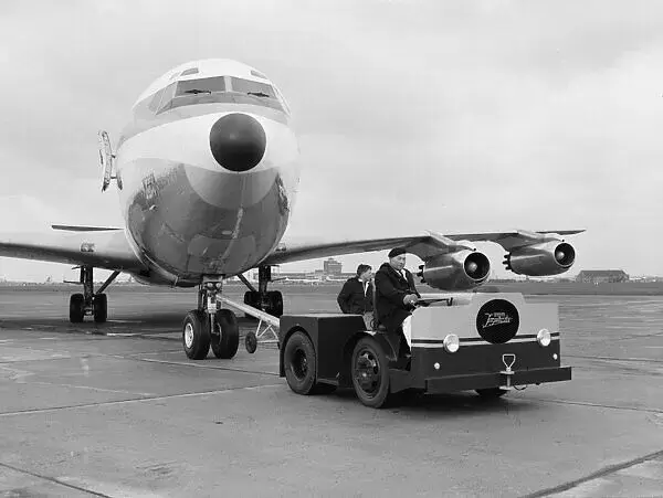
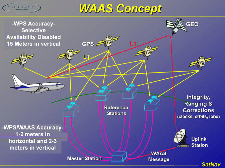
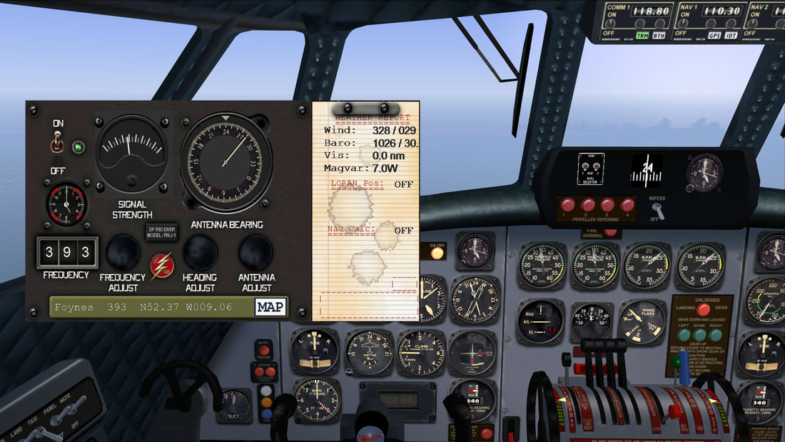
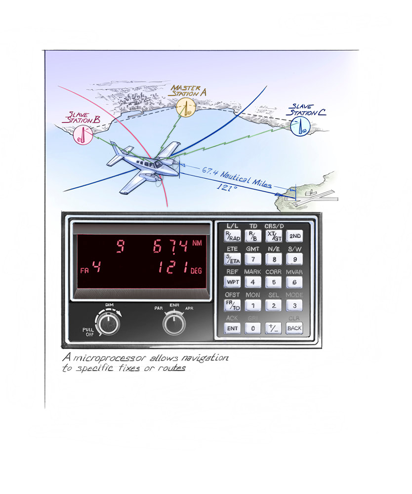
Modern avionics have made navigation the least of the concerns for any pilot, with computers giving precise route coordinates. Still, how did aircraft navigate before the Global Positioning System GPS became a standard navigation tool? Aircraft used different methods to navigate pre-GPS, including dead reckoning, celestial navigation, and more. The historyWhen aircraft first took to the skies in the 1900s, flights would use visual aids for all navigational purposes, with very little in the way of hardware. However, with the entry of aircraft into military use, flying at higher altitudes and longer distances, accurate navigation became essential for any flight. Of course, planes could use onboard radios to communicate with the ground, receiving instructions from the ground crew. Even though this was workable during takeoff and landing, radios had a limited range in terms of distance, meaning communication became impossible once aircraft were a few hundred miles away. Instead, crews used several manual ways to calculate their position. Celestial navigation was a standard method of finding a plane's location, where navigators would use a bubble sextant to calculate the aircraft's position relative to the sun, moon, or stars. This method was used until the jet age in the 1960s, with early Boeing 747s even having a sextant port on the cockpit roof. Dead reckoning was another common navigation method on long flights. With this process, navigators would use previously known positions to estimate the plane's current position using speed and flight time. While the weather could hamper these estimates, it was a relatively accurate way to calculate the plane's location. To better provide information while in flight, ground bases would use a system known as long range navigation (LORAN). Two land-based radio transmitters would send each other signals at a set interval, allowing plane navigators to use the time difference to find their exact location. While this was an ideal solution, weather and frequency disruptions could easily distort the transmission, leaving the crew with unreadable data. On commercial aircraftPlanes have been flying commercially since the early 20th century, but GPS has only come into active use in the last two decades. Prior to using GPS as we know it, modern aircraft had a number of other tools at their disposal. Some may recall that flight decks previously used to have navigators onboard, a person dedicated to tracking the aircraft's route and radio communications. This was mainly found on long flights over the ocean, where radar contact could be lost, and fewer diversion airports were available. Modern avionics, and a push to reduce inflight crew, have resulted in these navigators now no longer being needed on commercial flights. Air Force One, which is a modified 747-200, interestingly still has a navigator in the cockpit due to the aircraft's age. It remains one of the last commercial-made planes to have one, although some military aircraft still use navigators too. Prior to the jet age, some aircraft used a radio-based system known as Very High Frequency Omni-Directional Range (VOR) flying. In this system, aircraft would receive communications from fixed ground beacons, allowing it to continue its flight path and find its position. This navigation method was quite reliable in areas with radio coverage and continued to be in use until GPS became the norm. The beginning of the jet age also marked the introduction of a new navigation method: inertial navigation systems (INS). The INS phased out older celestial systems, relying on highly sensitive motion and rotation sensors instead. This marked the first use of partially-computerized navigation sensors, a trend that would continue until GPS became standard on all flights. The INS systems also made aircraft navigators mostly redundant, which is why no modern aircraft has a navigators seat. The introduction of the inertial navigation system revolutionized flight navigation, allowing pilots to follow set flight paths based on their current positions and take the guesswork out of the calculations. The advent of GPSGPS, or Global Positioning System, actually came into operation well before it became a mainstay in all cockpits and mobile devices. GPS was initially created for military purposes only, with the project starting in 1973 and the first satellite launching in 1978. However, in 1983, President Ronald Reagan signed an executive order allowing passenger aircraft to use the system once it was fully operational. The reason to allow GPS for commercial use was due to the recent Korean Air Lines crash in 1983. KAL007 crashed after it was shot down by Soviet fighter aircraft due to the plane mistakenly entering Soviet airspace on its way to Seoul. In response to the crash, the US authorized the use of GPS for flights to provide for more accurate navigation. In February 1994, the FAA authorized the use of GPS on aircraft, setting up the next generation of aircraft navigation. Soon after, GPS became available for mobile devices too, which is what makes Google Maps and flight tracking software work. A long journeyAll in all, the Inertial Reference System (IRS) is the primary navigational system in a plane today. The self-sufficient process doesn't need any external input to know where it is across the skies. It doesn't consist of any physical leveling and utilizes mathematical algorithms to ensure the accelerometers are constantly in line with the horizon.
Aircraft navigation has come a long way from pilots flying with little information to having everything on a screen before them. While older methods of navigation are gone from the cockpit, pilots still learn many older tools. Dead reckoning continues to be taught to pilots, even if they fly aircraft with GPS. This is because technology can fail, forcing pilots to manage the aircraft manually. Despite being integral to global air operations for decades, GPS isn't full-proof. For instance, just last month, Qantas crews had been experiencing radio interference and GPS jamming in the Asia-Pacific. Moreover, the pilots had been instructed to fly through these disruptions. While these incidents didn't result in any catastrophes, they highlight the challenges that remain for commercial operators across the skies. Aircraft navigation continues to evolve even today. Companies are already developing the next generation of technology to allow for autonomous flight. There will undoubtedly be major transitions in this field over the next decade. What do you think about older navigation methods and how pilots managed their operations before the advent of GPS? What will be the next breakthrough in the aviation industry? Let us know your thoughts on the overall prospects in the comment section!
0 Comments
Leave a Reply. |
Send us an email at [email protected] if you want to support this site buying the original Division of Aero Patch, only available through this website!
All
|

 RSS Feed